VIII Fort, Kaunas Fortress, Lithuania

Posted: February 10, 2014 in Lithuania
Tags: ,

001

I came to this place with my host in Kaunas. It was a rainy day and in our walk back home we got totally soaked. I mean, really soaked. Nevertheless, it was fun. Definitely not easy to find the right access to this fort, even for my local friend Thomas. When we finally did it to the entrance, it started raining. So we stayed “indoors” for a while, for no avail. The rain never stopped and we decided to start walk back. Overall it’s not such a big deal. I am just creating this article because, well, I was there. It exist. So it deserves to be mentioned in this blog.

009

002

003

Historic backround (taken from my previous entry about Fort VI):

Kaunas Fortress (Lithuanian: Kauno tvirtovė, Russian: Кοвенская крепость) is the remains of a fortress complex in Kaunas, Lithuania. It was constructed and renovated between 1882 and 1915 to protect the Russian Empire’s western borders, and was designated a “first-class” fortress in 1887. During World War I, the complex was the largest defensive structure in the entire state, occupying 65 km2 (25 sq mi).

The fortress was battle-tested in 1915 when Germany attacked the Russian Empire, and withstood eleven days of assault before capture. After World War I, the fortress’ military importance declined as advances in weaponry rendered it increasingly obsolete. It was used by various civil institutions and as a garrison.

During World War II, parts of the fortress complex were used by the governments of Nazi Germany and the Soviet Union for detention, interrogation, and execution. About 50,000 people were executed there, including more than 30,000 victims of the Holocaust.[3] Some sections have since been restored; the Ninth Fort houses a museum and memorial devoted to the victims of wartime mass executions. The complex is the most complete remaining example of a Russian Empire fortress.

There is much more there so if you wanna check it, here is the link:  Kaunas Fortress

004

005

006

007

jeromenha-01

Juromenha has a relatively remote location in Southern Portugal. It’s a 2,5 hours drive from Lisbon, and a few dozen kilometers from Évora. It has been inhabited at least since the 9th Century and in the 10th Century there was an Arab castle on the spot. It was conquered by the Christians led by the first king of Portugal – Dom Afonso Henriques – in 1167, and then lost again to the Muslims in 1191. Only in 1242 was taken by the Portuguese for good.

jeromenha-02 jeromenha-03
jeromenha-04 jeromenha-05
jeromenha-08 jeromenha-09

In 1312 the castle was totally renovated, entering a phase of decay from the 16th Century. Only in the late 17th Century the castle regained its strategical significance, playing an important role during the long war (Guerra da Restauração) between Portugal and Spain. Most of what we can see on the spot these days was built in that period. It was in 1640 – the year the war started – that was decided to rebuilt the fortress. There were 3 proposals, being the winner the one presented by the Dutch clerical Cosmander. This was the most elaborated and complex design. However the works came to a stalemate and another of the candidates, the French Nicolas de Granges got the job.  In 1659 an explosion in the powder storehouse caused the death of a few men and damaged the structure of the buildings.

Meanwhile the French switched sides and led the Spanish artillery during the attack of 1662, when the fortress was temporarily lost.

jeromenha-06

jeromenha-07

jeromenha-12

Located in a borderland it change hands quite often. Only in 1808 was finally taken by the Portuguese. Since then it lost its importance and became gradually a ruin. In 1920 was officially abandoned. In 1950 the Portuguese government (Direcção-Geral dos Edifícios e Monumentos Nacionais) invested in the renovation of the fortress with the works being done until 1990. Which is strange because one won’t notice much of this on the site.

jeromenha-18 jeromenha-17
jeromenha-16 jeromenha-15
jeromenha-11 jeromenha-10

Although it’s a bit far from the main cities, it’s not hard to get there. Juromenha is also a village and there are proper roads leading to the location. The fortress is completely abandoned and wide open. Just use the main gate and enter. Lots to explore there. The view is breathtaking. Enjoy!

To find it, just Google Earth: Juromenha, Portugal. The fortress location is obvious. Nearby Urbex site: Forte da Graça, Elvas.

jeromenha-19

jeromenha-14

jeromenha-13

tocna-01

tocna-02

Just like Miskovice SAM Base, the facilities located near the village of Tocna – suburbs of Prague – were intended to defend the capital of the country against any air attack from the NATO countries. Considering the similarities – after all the bases were part of the same system – I will use the text I wrote to Miskovice:

For 45 years, USA and Soviet Union kept a tense relationship. From both sides of Europe – western and eastern – an incredible war arsenal was positioned, ready for the was which fortunately never came. Prague was by then the capital city of Czechoslovakia, therefore, part of “the other side”. The country was an important link of the Warsaw Pact, hosting the Soviet headquarters for the Central Army. Czech foreign policy was completely subordined to Soviet Union interests.

tocna-03

With the end of the Cold War and reduction of Defense budgets, many military facilities were abandoned. Amongst them, a network of air defence missile bases around Prague. It was their mission to protect the city against air attacks. Tocna was part of such system. Nowadays, from the ten or so bases of the kind which were installed near Prague, only Tocna and Miskovice can be freely explored. The others, are either in the hands of private owners or still active as military facilities.

Personally I prefer Tocna over Miskovice. Not only one can combine the visit with one fine hiking trail which will cross the hilly woods leading to the historical town of Zbraslav, but also there is more to explore on the site.

tocna-04

tocna-05

tocna-06

tocna-07

tocna-08

tocna-09

tocna-10

tocna-11

tocna-12

tocna-13

Untitled-1

In this picture you see the village of Tocna. The base area is marked with the red line. Nearby there is a set of buildings which are active civilian business.

Coordinates of the access:  49° 58.630’N  14° 25.570’E

Vale Navio: a ghost resort in Algarve

Posted: November 21, 2013 in Portugal

valenavio-01

This place, located in Albufeira area, was one of the first time-sharing resorts in Portugal and one of the largest. The original project included 300 apartments and 95 villas, but in the end the whole thing collapsed.

The project was designed in 1972 by the architect Ramos Chaves. It was a special project, thought to be a model of positive interaction between urbanization and environment. Amazingly, only three trees – pine trees – would be cut down to make space to the buildings. But in the 80’s the success of Vale Navio was so intense that greediness dictated the expansion of the resort and the good principles were forgotten.

valenavio-12

valenavio-11

valenavio-10

valenavio-07

valenavio-06

valenavio-05

valenavio-04

valenavio-13

I couldn’t determine when it finally collapsed but probably in 2003. Initially I thought of 1988, because in the workshop there I found plenty of documents – repairing requests – with that date. But no. Googling it (there is plenty of information in Portuguese in a newspaper Público article here) made it clear. In 2000 Vale Navio was still up.

It’s an easy exploration. Located a couple of hundred meters from the main road in the region, there is even a parking spot and then, it’s just a matter of walking in and take pictures. The  most interesting spot in the former Mexican restaurant, significantly named Mexiko. What’s really awkward is that many properties initially included in the resort were saved from abandonment and people now live there. How strange can be to live surrounded by a ghost resort?

valenavio-09 valenavio-08
valenavio-02 valenavio-03

Kayakoy, a ghost town in Turkey

Posted: October 31, 2013 in Turkey

kayakoy-01

Kayakoy was an interesting town. Then, in 1923, they came for the Christians and the place collapsed. The whole thing was part of a major arrangement between the governments of Greece and Turkey. The agreement was based in a total population exchange: all Muslims would be expelled from Greek territory and led to Turkey and the Christians living in Turkey would suffer the same fate and would be moved to Greece. It was a mess. For hundreds of thousands it was the end of their worlds. In the end, perhaps it was a good thing. When I think about Yugoslavia in the 90’s I consider the Greek-Turkish agreement as a good thing. A hard way to fix a bad blood issue.

kayakoy-02 kayakoy-03
kayakoy-07 kayakoy-08
kayakoy-09 kayakoy-10
kayakoy-14 kayakoy-15

But in Kayakoy there was no bad blood. Only a peaceful cohabitation between the two communities, each with its role in the town, both working together and living with strong bonds and long friendship. The order came as a lightning. The Muslims left gradually after the Christians were dragged out of Kayakoy, unable to keep their lives without their long time fellows. In the end Kayakoy became a ghost town, despite the efforts of the Turkish government. There was an attempt to populate the place with Muslims coming from Macedonia but they refused to stay, claiming the soil was not convenient for proper farming.

kayakoy-17

kayakoy-16

kayakoy-13

The place became kind of famous after being the set of the novel Birds Without Wings, by Louis de Bernieres, the same fellow who wrote the books which resulted in the movie Captain Corelli’s Mandolin. I read the book and I strongly recommend it.

Nowadays there is a little village attached to the ghost town. It’s a small community, where everybody knows everybody, with many British expats living there. I had the pleasure of spending four days in the house of a friend of mine there and got the feeling of the local community.

There were plans to transform the ruins in a touristic resort but the reaction was so strong that whoever was architecting it, just dropped the idea altogether. In theory there is a ticket office by the entrance of the grounds. Just ignore this. Go around and find another place to enter the town. There are a few, some of them quite obvious and part of several hiking trails. It’s ridiculous. There is no merit. How do they dare to ask money to anyone to enter these grounds? I was in the town four or five times and never paid a cent. Either went before of after the opening times, or entered in other spot.

kayakoy-12

kayakoy-04

kayakoy-05

kayakoy-06

Getting to the place couldn’t be any easier. Kayakoy is close to Fethiye, a touristic town built around the British market. From Istanbul a domestic flight to Dalaman – cheap and fast – followed by a convenient shuttle bus connection to Fethiye, from where you can take a local mini-bus or walk – there is a 9 km hiking trail.


Further Information:

Palacete Fonte da Pipa, Portugal

Posted: September 26, 2013 in Portugal

fontedapipa-01

fontedapipa-02 fontedapipa-03
fontedapipa-04 fontedapipa-05

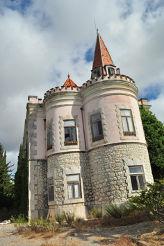
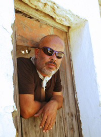
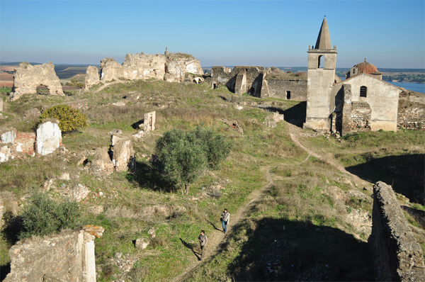
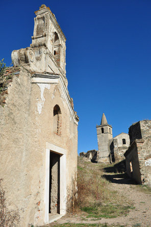
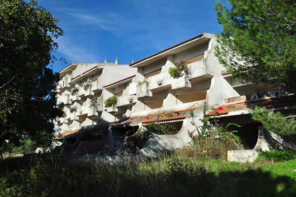
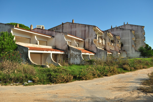
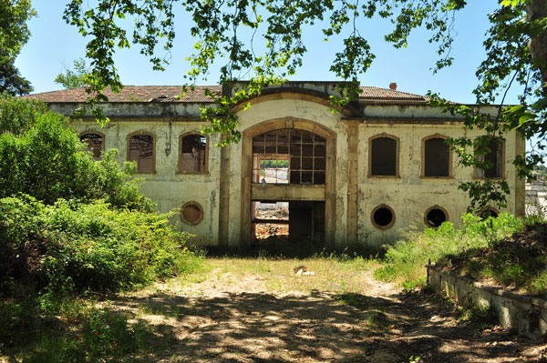
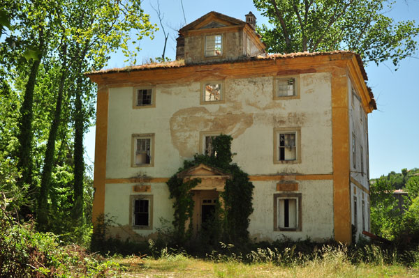
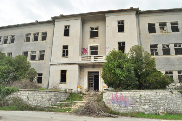
For me, this was quite an unusual urbex experience: I was in this place only three or four years ago and it was not abandoned at all. I went there one evening to visit an art exhibit promoted by the City of Loulé. By then I thought the City was the owner of the property but it seems they were only renting it out for the occasion.

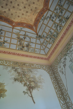
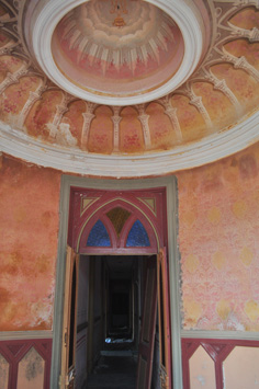
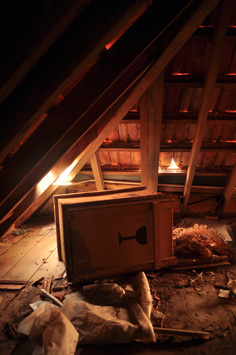
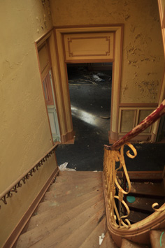
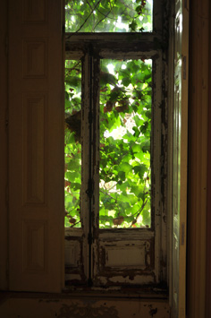
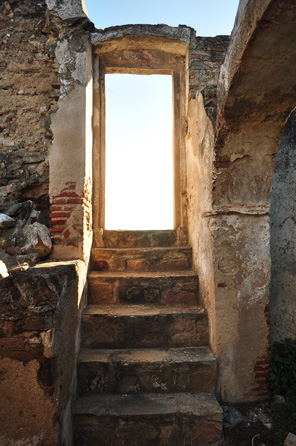
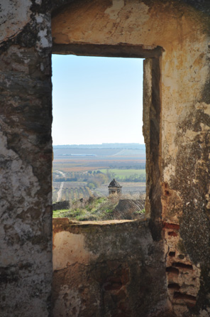
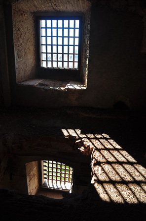
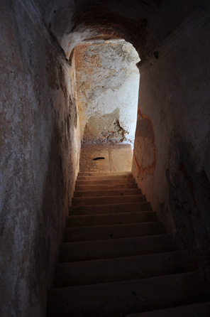
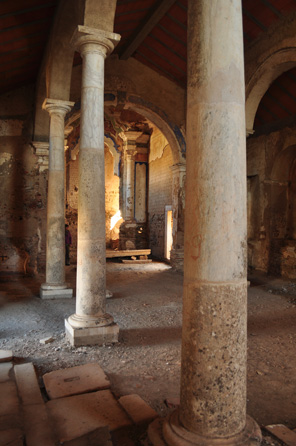
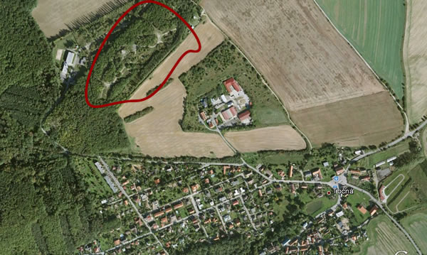
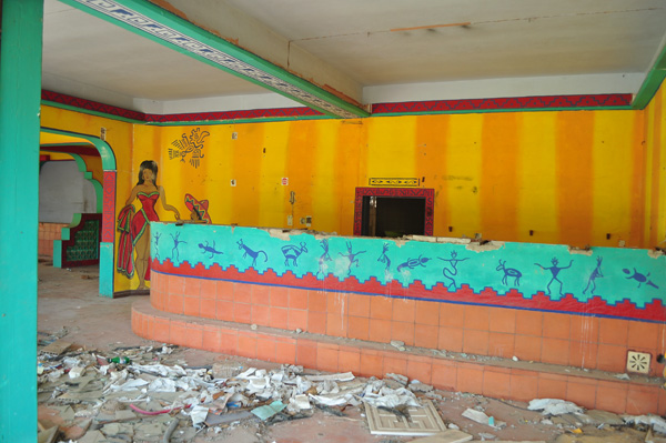
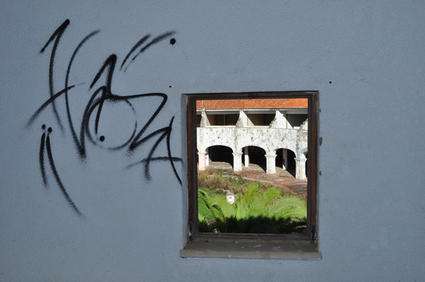
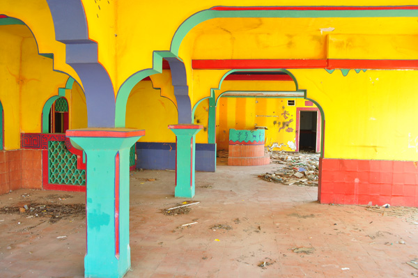
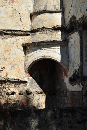
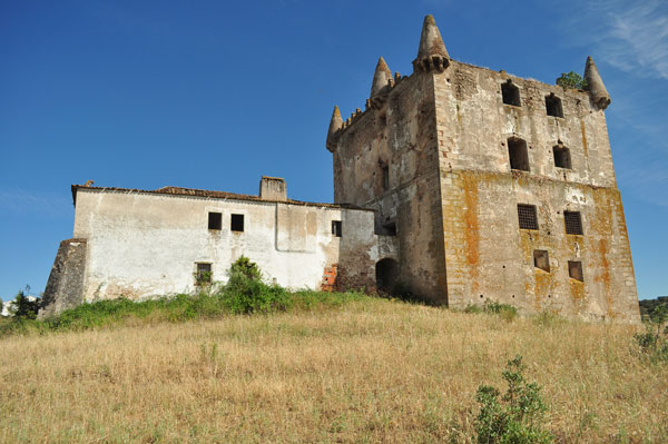
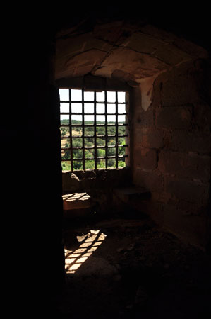
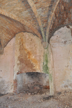
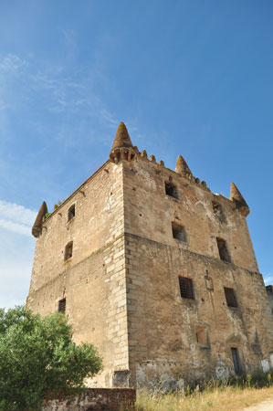
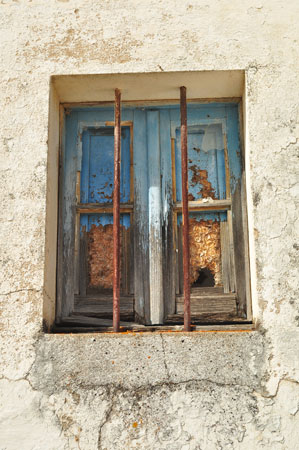
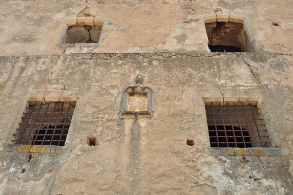
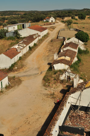
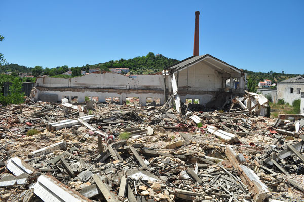
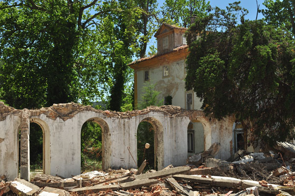
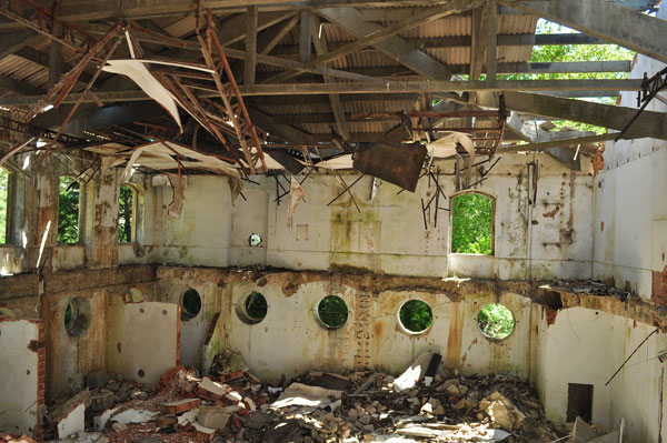
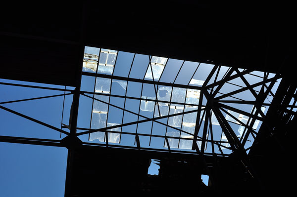
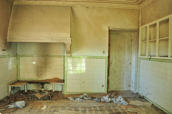
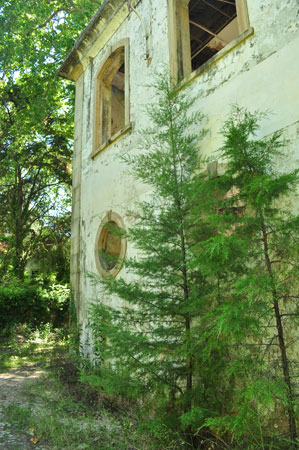
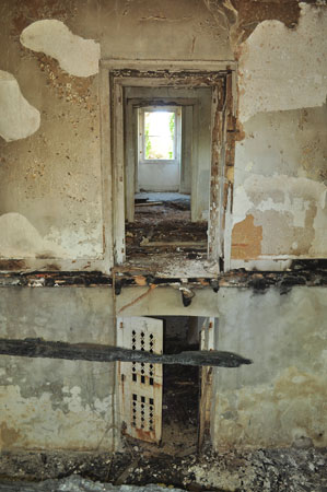
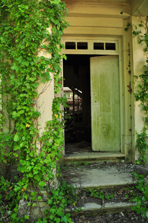
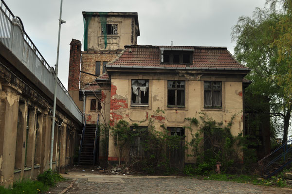
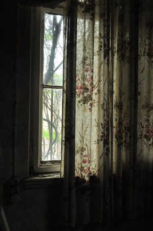
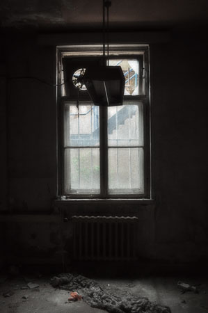
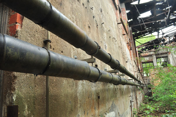
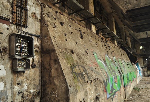
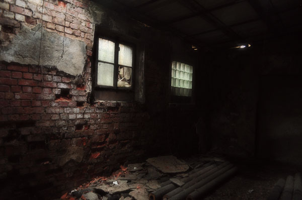
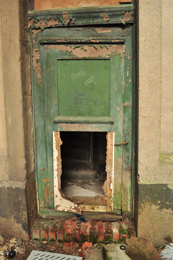
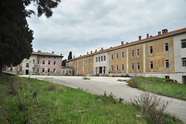
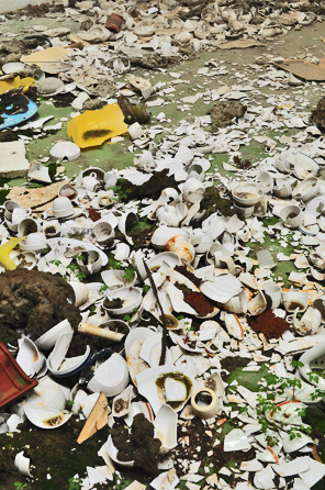
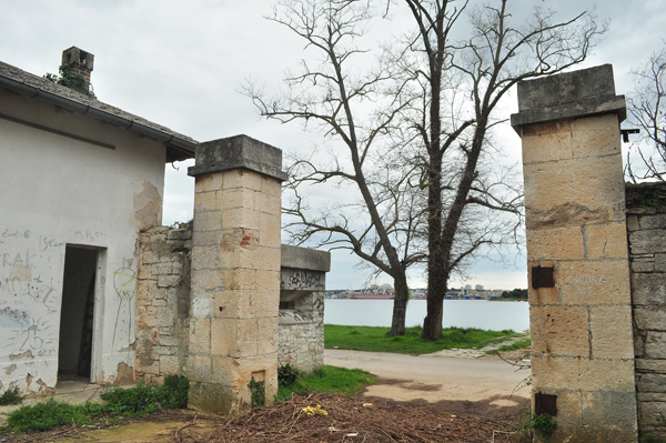
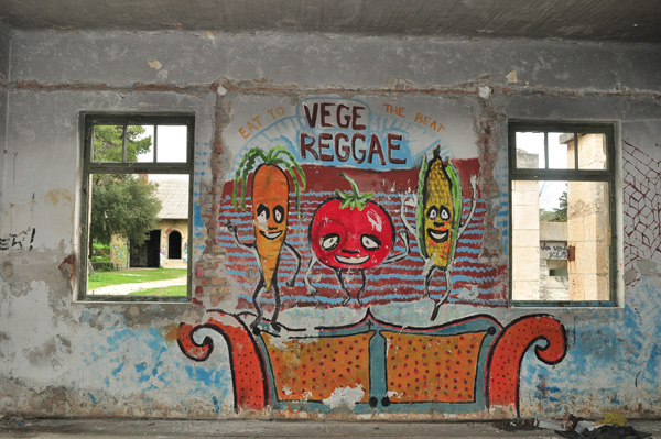
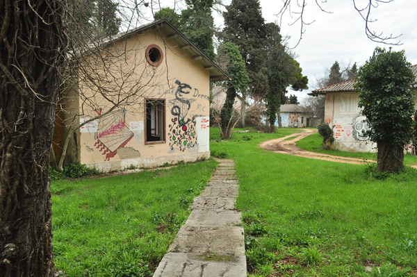
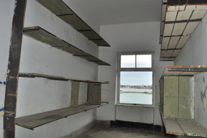
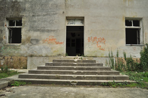
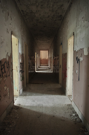
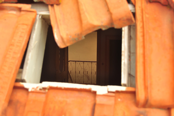
This chalet is located in the boundaries of Loulé, in Southern Portugal. When I visited all doors were wide open and the indoors were not specially vandalized but were nevertheless in a poor condition. There is abundant water infiltration. No graffiti, no rubbish. There is a small gipsy community living nearby, in another abandoned building which used to be a support structure for the chalet. When I was wandering around an old man came around and we spoke briefly. A long time ago he worked in the farm as general manager. He told us some anecdotes and described the property in its good old times.

fontedapipa-06

fontedapipa-25

fontedapipa-16

fontedapipa-11

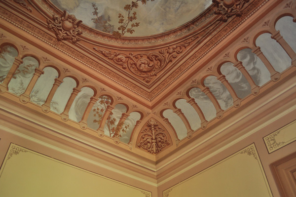
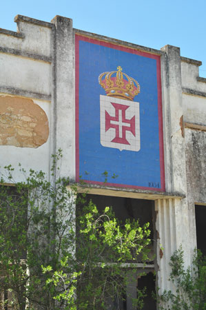
The chalet was built during the last quarter of the 19th Century.  Follows a brief history of the property, in Portuguese:

No local onde se ergue o “Palácio da Fonte da Pipa” existiu uma fonte à qual recorriam as pessoas da “vila de Loulé”. As terras da Fonte da Pipa foram compradas por Marçal Pacheco, que quis erguer aí um palacete (a partir de 1875) semelhante aos que vira nas suas viagens ao Norte da Europa, enquanto advogado, político (Partido Regenerador), deputado, presidente da Câmara de Loulé, cidadão.

A propriedade foi baptizada de “Quinta da Esperança”, nome que não permaneceu na memória popular. Não se conhece ainda quem foi o arquitecto que desenhou o palacete mas sabe-se que o seu construtor foi José Verdugo, que também trabalhou na construção do Mercado Municipal de Loulé.

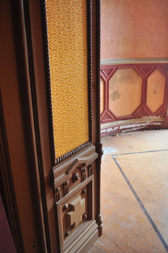
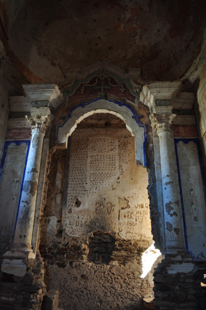
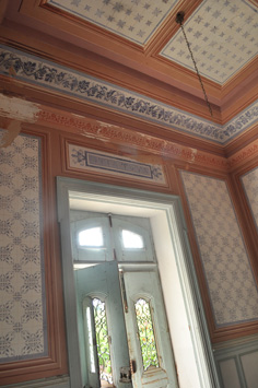
O decorador foi José Pereira Júnior (Pereira Cão), pintor e ceramista de Lisboa, que também trabalhou no restauro e decoração do Palácio da Ajuda por altura do casamento do príncipe D. Luís.
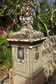
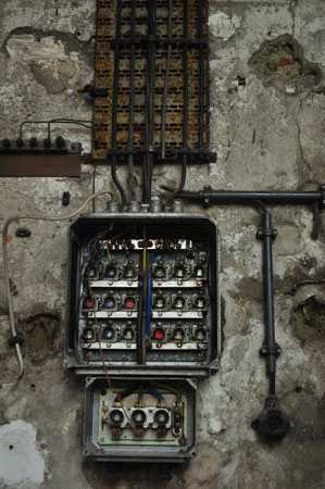
Marçal Pacheco faleceu no ano de 1896 sem ter visto terminada a construção do seu palacete de sonho. Em 1920, a família do antigo presidente vendeu a Quinta a Manuel Dias Sancho, banqueiro de S. Brás de Alportel.Dias Sancho introduziu melhorias, mandando eletrificar o palácio e construir os bancos dos jardins embutidos com conchas, corais, búzios, cascas de caracol, porcelana, cerâmica, num estilo Kitsch de feição romântica que envolve todo o edifício e jardins.

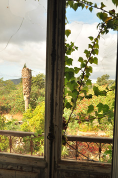
Nos anos de 1927/29 os bens da Casa Bancária de Manuel Dias Sancho, a título ressarcivo, foram entregues ao Banco do Algarve. Por sua vez, Francisco Guerreiro Pereira terá comprado a Quinta ao banco. O amor deste novo proprietário às plantas exóticas permitiu que ainda hoje permaneçam nos jardins espécies florais não autóctones.

Após a morte de Francisco Guerreiro Pereira, foi herdeiro da Quinta o seu filho, o Dr. Guerreiro Pereira, de Faro. Em 1981, este médico vendeu a propriedade à empresa “Quinta da Fonte da Pipa, Urbanizações, Lda.
A Quinta da Fonte da Pipa não está isenta de histórias de fantasmas, almas penadas e sons estranhos. Ainda hoje permanece o anátema tão arreigado na crença popular de fenómenos supostamente psicofónicos aí acontecidos. O que se deve, provavelmente, ao facto de ter aí havido jogos de interesses materiais, onde o cenário dos fantasmas foi instalado propositadamente a fim de afastar quaisquer interessados na propriedade, ou ainda porque, durante a epidemia da pneumónica (1916/18), foram provavelmente lá sepultadas vítimas dessa doença
 “

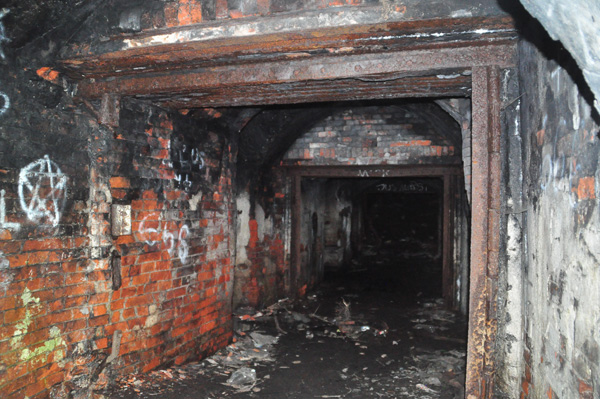
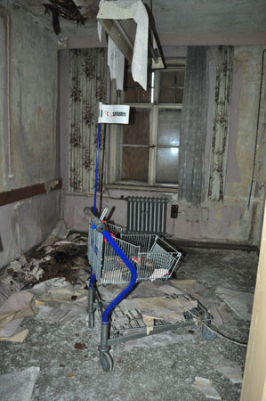
No need to mention an entrance spot. The whole property is wide open. It has one inhabitant. I found a room locked and I looked through a hole and it was all arranged, I saw a sleeping bag, hiking boots, a bike.  Some people mentioned another “guests” wandering around the house, but no troubles were reported so far. Coordinates:   N 37° 07.741 W 008° 01.196

More pictures as well as these in better definition are available in the Facebook Page of Urbexzone

 fontedapipa-07 fontedapipa-08
fontedapipa-09 fontedapipa-10
fontedapipa-12 fontedapipa-13
fontedapipa-14 fontedapipa-15
fontedapipa-17 fontedapipa-18
fontedapipa-19 fontedapipa-20
fontedapipa-21 fontedapipa-22
fontedapipa-23 fontedapipa-24

Torre das Águias, Portugal

Posted: August 2, 2013 in Portugal

torre-01

torre-02 torre-03
torre-04 torre-05

I found this place while doing Geocaching. Lost, somewhere in the inland of Southern Portugal. It was built around 1520 by Dom Nuno Manuel, one of the close servants of the king Dom Manuel of Portugal. It survived the strong earthquake of 1755 – which destroyed so many old buildings in the country – but without proper maintenance it slowly aged and it is now a ruin. On the 23rd June 1910 it was classified as National Monument and some works were performed in 1946, but to no avail. It is surrounded by buildings of a farm, also abandoned.  It’s located in private property bot nobody will object if someone wishes to visit. It’s possible to enter the tower-castle and go all the way up, but caution is advised.

torre-06

torre-07

torre-08

torre-09 torre-11

Extra caution is advised on this one. The building is in very poor condition and the floors between levels can collapse at any moment. Specially if you walk on them. Which I did, but very slowly and feeling it with my feet. Now… if you go, go all the way up, for an awesome view of the surrounding fields and the local abandoned farm. Because the site is not all about the medieval tower. The farm itself it’s interesting although the houses are still locked. Plus, there is also a chapel, also locked. And it’s not a good idea to be a smart ass around. There is at least a guy who takes care of the place, keeping his tractor and machinery in one storehouse and he his a nice fellow but I am sure he wont be thrilled if some foreigner comes and tries to get in in a locked property.

torre-10

fabrica-01

fabrica-02

This place is a factory. I mean, it was a factory. A huge, massive spinning factory. Its construction started in 1790, sponsored by the French Jácome Ratton & son and Timóteo Lecusson Verdier. The idea was to use the natural energy of the nearby river Nabão to move the spinning machinery. The British Engineer Francisco Wellhouse (or perhaps, Francis) was the first director of the factory and he supervisioned its construction. Eight years after the beginning of works the factory was far to be ready and an extraordinary flood ruined part of water channels. It took six years more to inaugurate the factory.

fabrica-03

fabrica-04

Then, in 1883, the place was completely destroyed by a fire. Rebuilt by Henrique Taveira accordingly to a plan designed by the engineer Charles Hargreaves, the factory eventually got to the top position of the Portuguese ranking as the largest in the country. Finally, in 1993, unable to face the fierce competition of cheap Asian textiles, it was shutdown. Nowadays it’s half destroyed. Not in ruins, destroyed, really. Most of it is a chaotic field of debris. The entrance building, probably the main offices, and the house which probably was the home of the senior staff (or perhaps just of the director, no idea) still stands, but in very poor condition.

fabrica-05 fabrica-06
fabrica-07 fabrica-08

I was surprised to find this urbex site in Tomar – a great place to visit – because I know fairly well the town. But there it is, and in fact, it’s quite obvious in Google Earth. It’s only by looking at the satellite imagery that one gets the real idea of how big the area of the factory is.

fabrica-09

fabrica-19

fabrica-18

fabrica-17

fabrica-16

I didn’t feel comfortable in the factory grounds. When I entered the place a pair of junkies was leaving. I politely greeted them and got the same back. But feeling a bit trapped in a walled area, I couldn’t relax. Of course, I was alone, and as always, exploring near or in an urban area, it’s always tricky.

fabrica-15 fabrica-14
fabrica-13 fabrica-12
fabrica-11 fabrica-10

These are the coordinates of the entrance spot, which is the main gate, now “open” as you see in the picture below.  39° 36.552’N   8° 24.504’W

fabrica-99

Railways Building in Leipzig

Posted: June 4, 2013 in Germany

leipzig-01

I went to Leipzig almost by accident: I needed to go through this Eastern German city to get to Prague and then I saw no reason why I wouldn’t visit it properly. Of course I made my home work. I found a Facebook page of Urbex in Leipzig and then, by chance, I found a fellow who provided me an extensive list of urban exploration sites in the city with coordinates. Of these, I selected a few. The others were either too far from the center or too risky for a solo exploration.

leipzig-02

leipzig-07

Well, in the end I just had the chance to visit one of these spots. It’s a couple hundred meters from the main train station of Leipzig and it’s indeed a structure related to the railways, although I had no clue of its exact nature. This is one of the things I like the most in urban exploration: to speculate about the places and what went on there in their good old times. This house was a mix. There were residential rooms, collective showers and toilette, storage rooms, an area covered by glass roofs, and even mysterious tunnels.

leipzig-03 leipzig-04
leipzig-05 leipzig-06

One thing I can tell: it was spooky. Of course, when you do this alone and in a foreign country the adrenaline is always higher than average. I also find myself more vulnerable when I explore locations close to cities. Well, this one was right on the centers. To me it only means that odds of encounters with weirdos and tricky “fauna” increase.

I entered using the only available opening, a door under metallic stairs in which someone opened a hole. Then it was exploring and exploring. Eventually I thought I heard sounds, but then decided if there was people moving around there the level of sound would be higher and I decided it was just the wind. You see… just like in a classic scene from a horror movie. But yes, indeed it was only wind. Most people can’t recognize levels of sound. But they exist and aren’t so hard to identify. In an empty building – even in the middle of the city – noise is low and a single human step can be heard, distinctively.

leipzig-08

leipzig-09

leipzig-10

leipzig-11

leipzig-12

leipzig-17

leipzig-18

But despite this I decided I had enough adrenaline. I was not happy, knowing there was only one way out and it could be blocked by any incoming “visitors”. So I left. Coordinates of the place:  51° 20.837’N  12° 23.189’E

leipzig-13 leipzig-14
leipzig-15 leipzig-16

And, finally, the glorious entrance:

leipzig-19

01

03

In Pula, a city in Istria, formerly Italian, then Austrian, then Italian and now Croatian, the Habsburg empire established one of the main naval bases of its Navy. It kept being used as such until the collapse of Yugoslavia. Nowadays the area is part of Croatia, but the Croatian Navy is not using the base anymore. Kept locked for a while is now wide open to whoever wishes to enter the grounds and explore around. However, as far as I could see, there are parts of the huge base still fenced, although I believe they can be visited also. I am saying this because as driving in the approaching road I saw barbed wire looking recent on the top of the long wall by the side of the road. But even in this new barbed wire there were openings.

13

04 06
07 05

Entering the facility is totally easy. Actually you can get in driving is the main gate is wide open. So most of the exploration IN the grounds can be made by car which is great as the base – as most bases of this kind – is truly huge.

There is plenty to see, even considering all was carefully pillaged and stripped from anything sellable. I specially liked what seems to be the main square, probably surrounded by the administrative and HQ’s buildings. Then, there is the “island” (not sure if natural or artificial, but I got the impression it was human made), connected to mainland by a pontoon (also possible to drive in although it’s a bit tricky). There, plenty of men are fishing and there are even a couple of professional fishing boats peered there. From what I could read this was the place where the Yugoslavian Navy kept some hydroplanes and a large underground fuel deposit is kept, covered by a massive shelter.

08

09 10
11 12

13

14

19

20

21

22 23
24 25

26

27

28

15 16
17 18

These are the main gate coordinates:   44° 52.938’N  13° 49.199’E and this is a picture of the entrance:

02